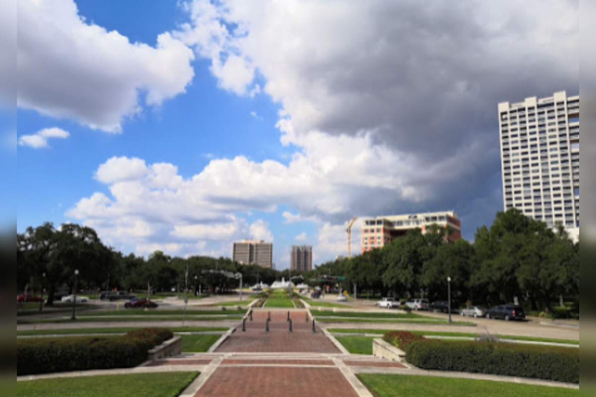
Houston Weather Alert: Potential Thunderstorms and High Heat Expected in Week's Forecast
Houston residents face a mix of hot, humid weather with chances for showers and potential thunderstorms in mid-June. The National Weather Service (NWS) has issued a weather alert for Houston, warning of potential severe weather conditions. The NWS predicts a 40 percent chance of showers and thunderstorms, mainly after 4pm on Thursday, with temperatures expected to drop to around 76, with a 30 percent chance for showers before 7pm. The forecast suggests that conditions will improve as the week progresses. Meanwhile, the NWS Storm Prediction Center in Norman, Oklahoma has highlighted a slight risk of severe thunderstorms for regions including the central Plains, lower Missouri Valley, mid-Mississippi Valley, and southern Great Lakes. The coastal areas should also be vigilant for waterspouts, especially at sea or on the coastline.
Pubblicato : 2 anni fa di Maddie Taylor Hartley in Weather
Houston residents may need to prepare for potential severe weather conditions, as the city faces a mix of typically hot, humid mid-June weather dotted with chances for showers and the possibility of thunderstorms in the coming days. According to the National Weather Service (NWS), there is "A 40 percent chance of showers and thunderstorms, mainly after 4pm. Mostly sunny, with a high near 89. Northeast wind around 5 mph." for today. Temperatures may drop to around 76 tonight with a 30 percent chance of showers and thunderstorms before 7 pm. The forecast, available on the NWS website, suggests that the current conditions are going to marginally improve as the week proceeds.
For those planning to venture out on Thursday and looking ahead to the weekend, the forecast indicates a 20 percent chance of showers and thunderstorms after 4 pm, with sunny skies and a high near 92 during the day. Heat index values could rise to as high as 101, whilst Friday is expected to be sunny, with a high near 93. The outlook appears clear for Friday night and Saturday with lows rounding out at 74 and 77, respectively. Yet, it is important to remain vigilant as a 40 percent chance of showers and thunderstorms is expected to present again on Sunday, mainly after 1 pm as per the forecast from the NWS website.
On a wider scale, the NWS Storm Prediction Center in Norman, Oklahoma has outlined a slight risk of severe thunderstorms for regions including the central Plains and southern Great Lakes. "Thunderstorms associated with large hail and severe gusts will be possible on Thursday in parts of the central Plains, lower Missouri Valley, mid-Mississippi Valley, and southern Great Lakes. Marginally severe storms will also be possible in parts of the central High Plains," reports the Storm Prediction Center.
As for the coastal areas, residents and visitors should also be vigilant for waterspouts, as noted by a post from NWS Houston. These unpredictable formations are not to be underestimated, especially by those out at sea or along the coastline. The entire region is thus bracing for a mixed bag of weather phenomena, from scorching heat to violent thunderstorms.
For the most recent weather updates and precise forecasts, stakeholders are encouraged to regularly check the NWS Houston X account and the Storm Prediction Center website.